I create web Application free
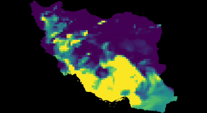
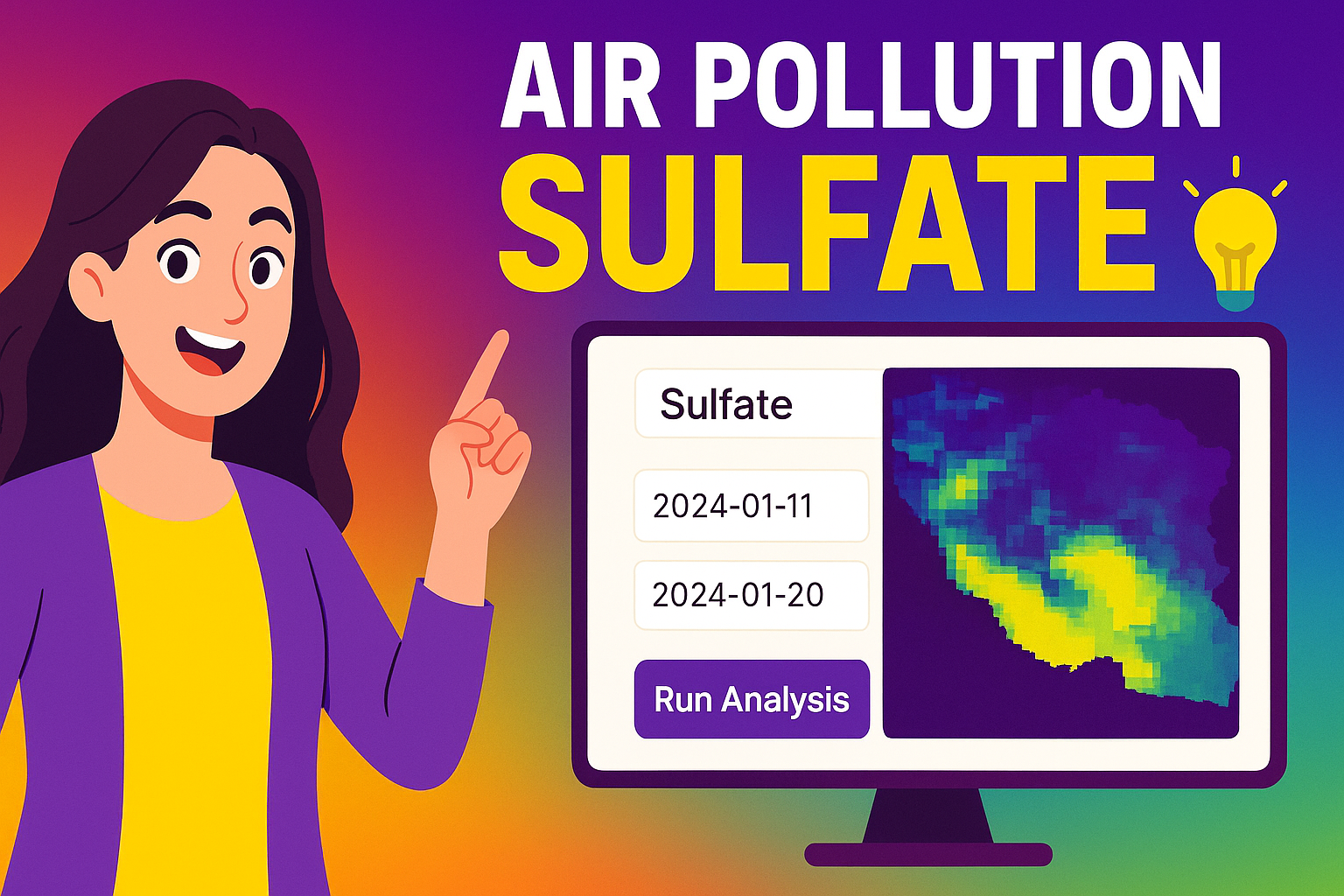
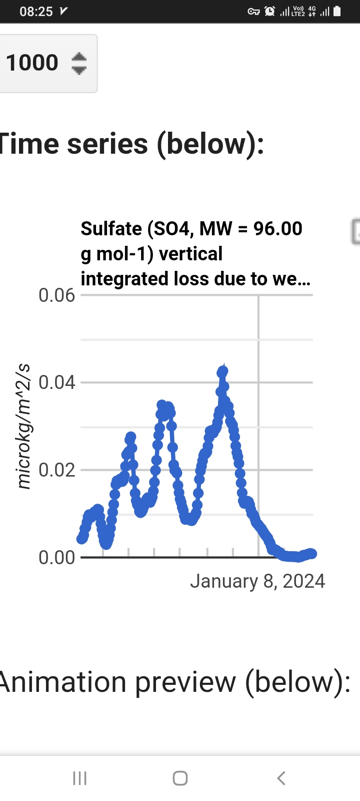
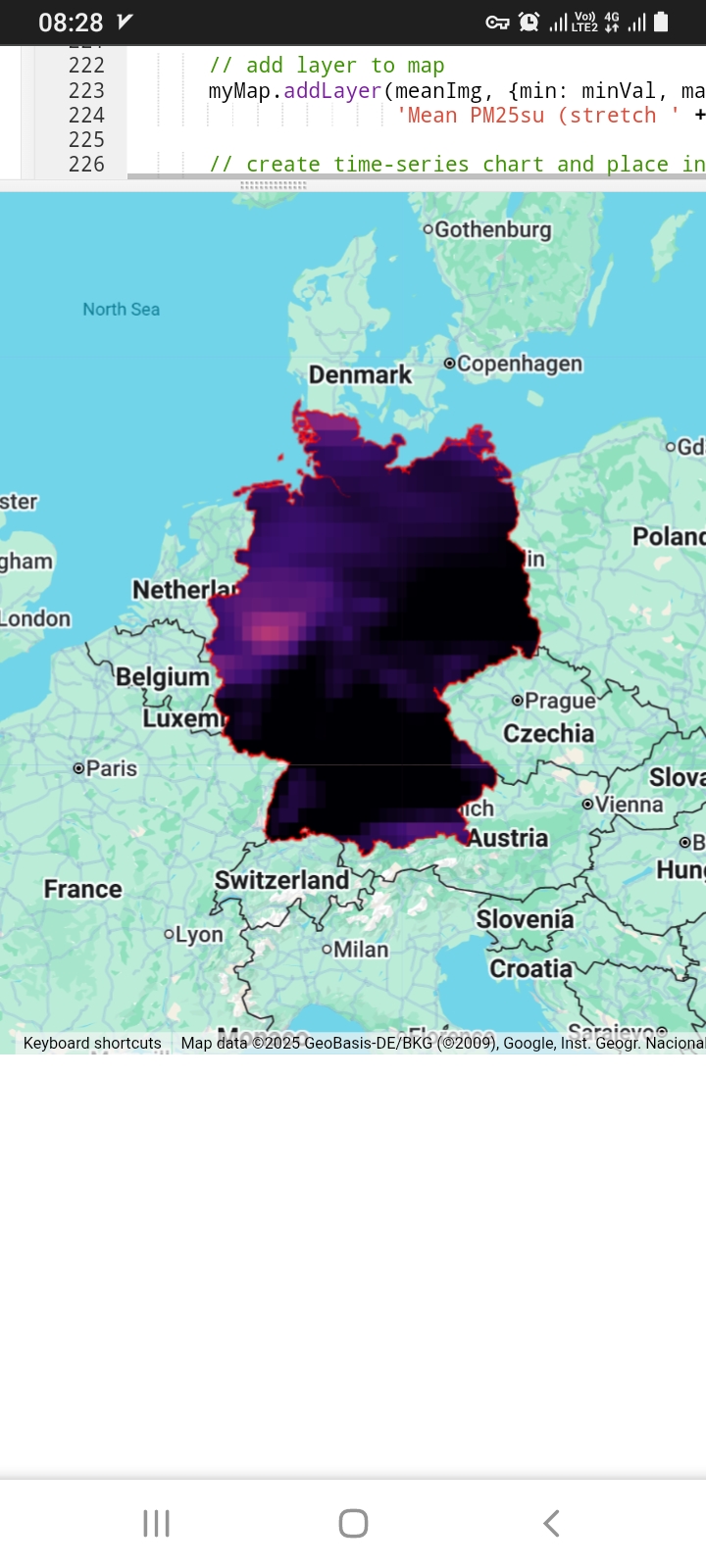
big data for AIR pollutant Sulfate SO⁴
LINK:https://mstafafarahani.users.earthengine.app/view/airqualitysulfate
Table of content:
https://github.com/mstafafarahani/Google-Earth-Engine-Application/blob/main/README.md
Contact:
Mstafa.farahani@gmail.com
Wa.me/+989381272118
github.com/mstafafarahani
linkedin.com/in/mostafafarhani
scholar.google.com/citations?user=qcN-Y1cAAAAJ&hl=en
.
.
 .
.
+ #climate
#Air #pollution,
#water #pollution, #Soilpollution,
#globalwarming, #RemoteSensing,
#satelliteimagery, #signalprocess,
#Earthobservation, #EarthMonitoring, #environmentalmonitoring, #Atmospheric، #Hydrology، #Geospatialanalysis, #GIS, #forest، #drought, #CoastalMarine #Monitoring, #landuselandcover, #urbanheatisland , #agriculture, #Geography, #earth , #Geospatial, #Geosciences, #EarthScience, #LiDAR , #sar , #waterresources
 After hours web software air Quality nitrogen dioxide NO 2 ., After hours web software air Quality nitrogen dioxide NO 2 .,
 Air pollution Nitric Acid monitoring web software ., Google Earth Engine
 Web based Software monitoring Remote Sensing
 web app monitoring satellite air pollution Ammonium
 web application Earth ???? model
 Elevation ارتفاع + python remote sensing
 Remote sensing for Organic Carbon Soil GIS SATELLITE
 تعیین جنس خاک رس با ماهواره سنجشاز دور
 دومین مطلب آزمایشی من
 Remote sensing + Load Geo TIFF image
 تشخیص مقدار ماسه در خاک با ماهواره طول موج