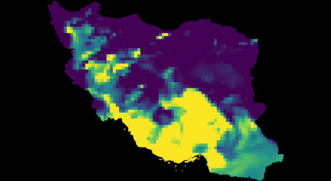
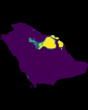
????web Application AIR pollutant Ammonia NH³
☣Vertical column not surface pollution
☢I had to multiply in 1000 000 000 to avoid get 0 in csv .
So divide your csv in 1000 000 000
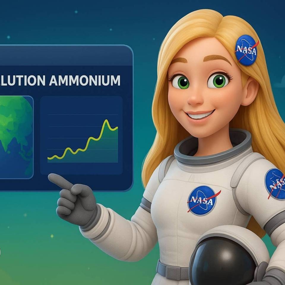
⚠️LINK: https://mstafafarahani.users.earthengine.app/view/airqualiryammonianh3
????Table of content:
https://github.com/mstafafarahani/Google-Earth-Engine-Application/blob/main/README.md
????Contact:
Mstafa.farahani@gmail.com
Wa.me/+989381272118
github.com/mstafafarahani
linkedin.com/in/mostafafarhani
scholar.google.com/citations?user=qcN-Y1cAAAAJ&hl=en
.
????web software AIR Formaldehyde CH²O https://mstafafarahani.users.earthengine.app/view/airformaldehyde
????Table of content:
https://github.com/mstafafarahani/Google-Earth-Engine-Application/blob/main/README.md
????Contact:
Mstafa.farahani@gmail.com
Wa.me/+989381272118
github.com/mstafafarahani
linkedin.com/in/mostafafarhani
scholar.google.com/citations?user=qcN-Y1cAAAAJ&hl=en
.
.
.
+ #climate #airpollution #googleearthengine #GEE
#Air #pollution, #water #pollution, #Soilpollution, #globalwarming, #RemoteSensing, #satelliteimagery, #signalprocess, #Earthobservation, #EarthMonitoring, #environmentalmonitoring, #Atmospheric، #Hydrology، #Geospatialanalysis, #GIS, #forest، #drought, #CoastalMarine #Monitoring, #landuselandcover, #urbanheatisland , #agriculture, #Geography, #earth , #Geospatial, #Geosciences, #EarthScience, #LiDAR,#sar,#waterresources
+ #climate #airpollution
#Air #pollution,
#water #pollution, #Soilpollution, #globalwarming, #RemoteSensing, #satelliteimagery, #signalprocess, #Earthobservation, #EarthMonitoring, #environmentalmonitoring, #Atmospheric، #Hydrology، #Geospatialanalysis, #GIS, #forest، #drought, #CoastalMarine #Monitoring, #landuselandcover, #urbanheatisland , #agriculture, #Geography, #earth , #Geospatial, #Geosciences, #EarthScience, #LiDAR,#sar,#waterresources
 .
.
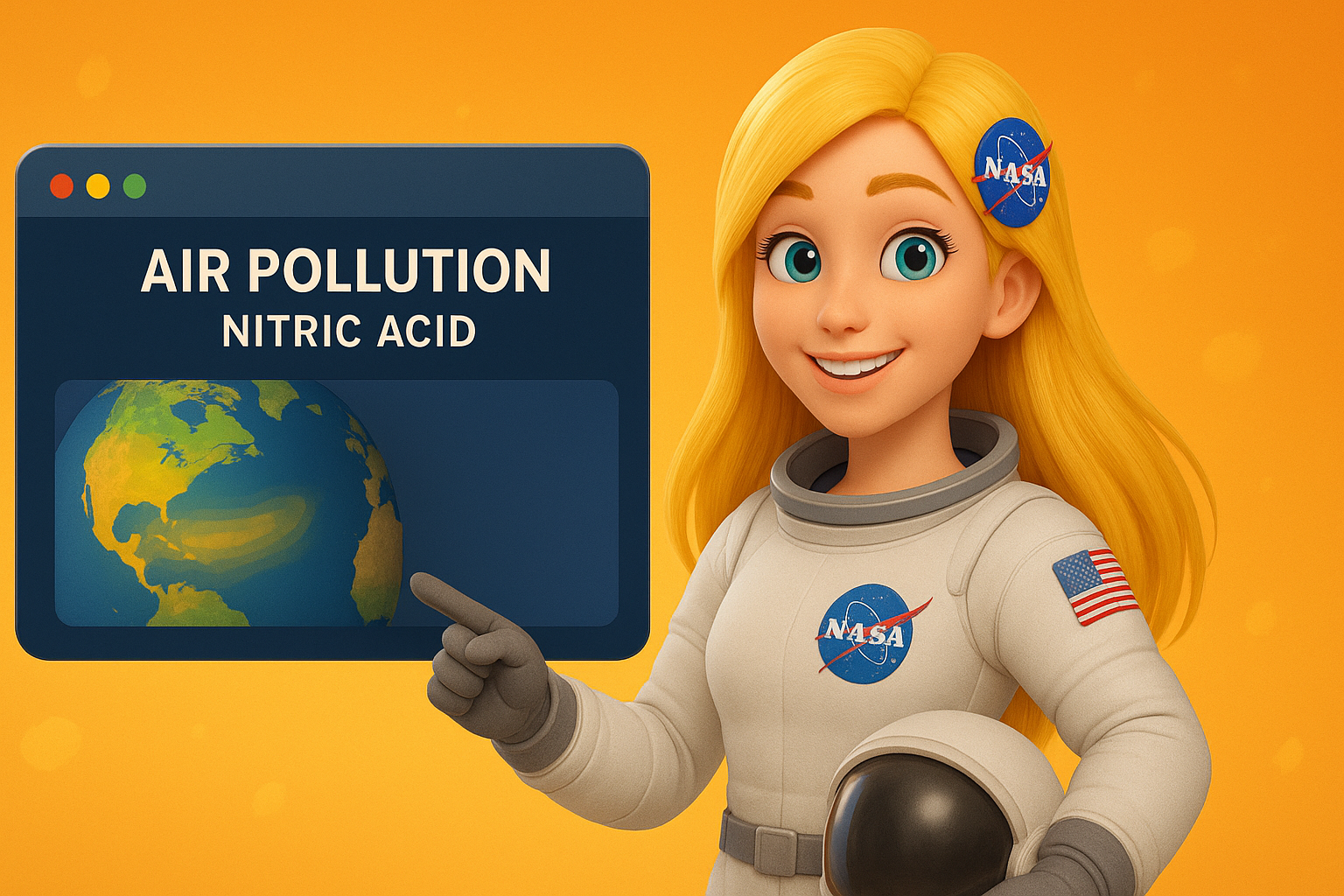
 After hours web software air Quality nitrogen dioxide NO 2 ., After hours web software air Quality nitrogen dioxide NO 2 .,
 Web based Software monitoring Remote Sensing
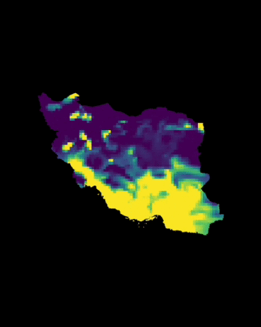
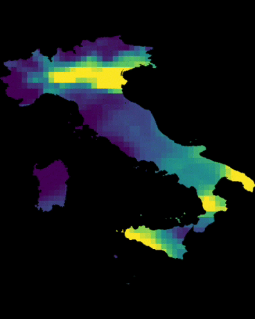
 web app monitoring satellite air pollution Ammonium
 web application Earth ???? model
 Remote sensing for Organic Carbon Soil GIS SATELLITE
 تعیین جنس خاک رس با ماهواره سنجشاز دور
 Elevation ارتفاع + python remote sensing
 دومین مطلب آزمایشی من
 Remote sensing + Load Geo TIFF image
 تشخیص مقدار ماسه در خاک با ماهواره طول موج